Kedarkantha Trek Guide 2026: Best Time, Route, Packing & Cost
Plan the Kedarkantha winter trek with the best months to visit, route, snow conditions, packing checklist, altitude guide, campsites and 2026 costs.
Altitude Sickness & Acclimatization Planner
Calculate elevation ascent rates, sleeping-altitude profiles, and Lake Louise AMS risk indicators before heading into the Garhwal Himalayas.
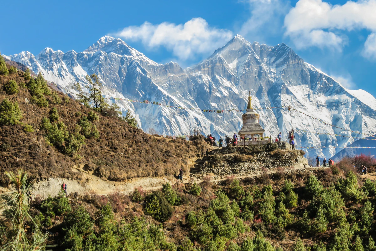
The trail to Kedarkantha climbs through dense oak, pine, and deodar forests before breaking onto open, wind-swept snow slopes above the treeline. Located within the Govind Pashu Vihar National Park in Uttarakhand’s western Garhwal Himalayas, it is widely recognized as India’s premier beginner-to-intermediate winter snow trek.
The trail is not technically complex—it requires no mountaineering ropes or technical ice climbing skills. However, summit day is demanding. Gaining 1,850 vertical meters (~6,070 feet) from the base village of Sankri into sub-zero mountain winds with nighttime campsite temperatures dropping to -10°C (14°F) makes it far more physically challenging than standard summer hiking.
This practical kedarkantha trek winter guide details the daily terrain, Dehradun-to-Sankri road transit, verified elevation profiles, winter temperatures, microspike requirements, campsite sanitation realities, and 2026 trekking costs.
🧭 FIELD AUDIT & VERIFICATION
- Last Verified: 20 August 2026
- Verified By: Avantika S Jaiswal (Lead Travel Strategist)
- Checked: Summit Route ✓ • Winter Snow Windows ✓ • Sub-Zero Gear Specs ✓ • Forest Permits ✓ • 2026 Costs ✓
- Field Advisory: Winter summit temperatures drop to -15°C with severe ridge windchill. Sub-zero thermal layering and microspikes are mandatory.
Kedarkantha Trek at a Glance
| Trek Detail | Verified Field Data |
|---|---|
| Region & District | Western Garhwal Himalayas, Uttarkashi District, Uttarakhand |
| Base Village & Trailhead | Sankri Village (Elevation: 1,950 m / 6,398 ft) |
| Summit Elevation | 3,800 meters (12,467 ft / ~12,500 ft) |
| Approx. Total Trek Distance | 20 to 22 km (12.5–13.6 miles) round-trip |
| Trek Duration | 5 Days / 4 Nights (or 6 Days including Dehradun transit) |
| Highest Campsite | Kedarkantha Base Camp (3,430 m / 11,253 ft) |
| Total Elevation Gain | 1,850 vertical meters (6,069 feet) from Sankri |
| Winter Season Window | Mid-December to Late February (Peak snow period) |
| Difficulty Rating | Moderate (Beginner-friendly with regular cardiovascular fitness) |
| Winter Temperature Range | 12°C to -12°C (54°F to 10°F) depending on elevation and time |
| Permits & Forest Fees | Govind National Park entry permit (~₹150–₹200 per person + camping fee) |
Geographic Clarification: Kedarkantha is a trekking peak in western Uttarakhand and is completely separate from the revered Kedarnath Temple pilgrimage shrine located over 100 km to the east.
Where Is Kedarkantha Located?
The journey to the summit follows a clear geographic corridor:
🗺️ Kedarkantha Summit Route Pipeline (Dehradun to 3,810m Summit)
-
📍 Dehradun Gateway (640 m / 2,100 ft)
- Transit: 🚗 Mountain Highway • 210 km (8–10 Hours via Mussoorie, Purola & Mori)
- Logistics: Early morning state buses or shared Maxx cabs from Dehradun Railway Station to Sankri.
-
🏡 Sankri Base Village (1,950 m / 6,397 ft)
- Transit: 🌲 Pine Forest Trail Commences • 4.5 km (3–4 Hours)
- Logistics: Base village with homestays, microspike rentals, and Govind Wildlife Sanctuary checkpost.
-
❄️ Juda Ka Talab Campsite (2,774 m / 9,100 ft)
- Transit: ⛺ Oak & Sub-Zero Glade Climb • 4 km (2.5–3 Hours)
- Terrain: Legendary frozen lake glade; sub-zero camping with night temperatures reaching -7°C.
-
🏔️ Kedarkantha Base Camp / Talkhetra (3,430 m / 11,250 ft)
- Transit: 🌙 3:30 AM Summit Push • 3 km (3–4 Hours Steep Snow Climb)
- Terrain: Expansive snow clearing looking directly up at the summit pyramid.
-
🚩 Kedarkantha Peak Summit (3,810 m / 12,500 ft)
- Transit: 🏆 360° Himalayan Panorama
- Scenery: Stone Shiva shrine with panoramic views of Swargarohini, Black Peak (Kalanag), and Bandarpoonch.
How to Reach Sankri from Dehradun
Sankri is the road-head village for Kedarkantha, Har Ki Dun, and the Bali Pass trail. It is situated 210 kilometers northwest of Dehradun.
DEHRADUN TO SANKRI ROAD TRANSIT MATRIX
| Route Corridor | Dehradun ──▶ Mussoorie ──▶ |
|---|---|
| - | Damta ──▶ Purola ──▶ Mori ──▶ |
| - | Netwar (Forest Post) ──▶Sankri |
| Road Conditions | Mostly paved two-lane; narrow |
| - | mountain curves after Purola |
| Departure Recommendation | Depart Dehradun by 5:30–6:30AM |
Transport Options from Dehradun:
| Transport Mode | Approx. Travel Time | Approx. One-Way Fare | Best Suited For |
|---|---|---|---|
| State / Private Bus | 9 to 10 Hours | ₹450 – ₹550 | Solo budget travelers (Departs 5:30 AM & 6:30 AM near Dehradun Railway Station) |
| Shared Taxi (Sumo/Maxx) | 8 to 9 Hours | ₹800 – ₹1,000 | Solo trekkers & couples seeking faster transit |
| Private Cab (Innova/Bolero) | 7 to 8 Hours | ₹6,500 – ₹8,000 | Groups of 4–6 people and families |
| Self-Drive | 8 to 9 Hours | Fuel: ~₹3,500 | Experienced mountain drivers (Drive cautiously in winter frost) |
Kedarkantha Trek Route: Day-by-Day Itinerary
| Day | Route Stage | Distance | Start Elevation | End Elevation | Elevation Gain/Loss | Approx. Time | Terrain & Challenge |
|---|---|---|---|---|---|---|---|
| Day 1 | Dehradun to Sankri | 210 km (Drive) | 640 m | 1,950 m | +1,310 m | 8–10 hrs | Winding Himalayan mountain highway; motion sickness risk. |
| Day 2 | Sankri to Juda Ka Talab | 4.0 km | 1,950 m | 2,775 m | +825 m | 4–5 hrs | Steep upward forest trail through oak and conifer trees; initial snow patches. |
| Day 3 | Juda Ka Talab to Base Camp | 3.5 km | 2,775 m | 3,430 m | +655 m | 3–3.5 hrs | Open undulating meadows (bugyals); snow depth increases; colder wind. |
| Day 4 | Base Camp to Summit to Hargaon | 6.0 km | 3,430 m | 3,800 m (Summit) $ | |||
| ightarrow$ 2,710 m | +370 m / -1,090 m | 6–7 hrs | 3:30 AM Night ascent on steep 40° snow ridge; descent on slippery snow. | ||||
| Day 5 | Hargaon to Sankri | 6.0 km | 2,710 m | 1,950 m | -760 m | 3–3.5 hrs | Continuous forest descent on hard-packed mud and stone steps; knee impact. |
| Day 6 | Sankri to Dehradun | 210 km (Drive) | 1,950 m | 640 m | -1,310 m | 8–10 hrs | Return road transit to Dehradun for evening trains/flights. |
What Is the Trail Actually Like? (Terrain Breakdown)
- Sankri to Juda Ka Talab (Forest Trail): The path begins behind Sankri village on a wide dirt trail that climbs steadily. You hike beneath tall pine trees, crossing wooden bridges and natural spring water points. In January and February, compacted snow begins roughly 2 kilometers above Sankri.
- Juda Ka Talab to Base Camp (Meadow & Snow Trail): The trail leaves the dense tree cover and emerges into expansive alpine meadows (bugyals). Walking on soft snow requires a steady, rhythmic pace. As you approach Base Camp, the triangular peak of Kedarkantha becomes visible directly ahead.
- The Summit Ridge (Steep Snow & Boulders): The final 1.5 kilometers climbs a sharp mountain ridge—a narrow section of high ground with steep slopes falling away on either side. Footing transitions between hard-packed snow, exposed slate stones, and ice.
Kedarkantha Elevation Profile
📈 KEDARKANTHA ELEVATION & SUMMIT PROFILE
- 3,810 m (Day 4): 🚩 Kedarkantha Summit Peak (360° Himalayan View)
- 3,430 m (Day 3): ⛺ Kedarkantha Base Camp (Snow Staging)
- 2,774 m (Day 2): ❄️ Juda Ka Talab (Frozen Lake Camp)
- 1,950 m (Day 1): 🏡 Sankri Base Village (Start & Finish)
Best Time to Do the Trek (Month-by-Month Comparison)
| Month | Snow Conditions | Cold Intensity | Crowd Level | Trail Condition | Recommendation |
|---|---|---|---|---|---|
| December | First major snowfalls mid-month; crisp clear skies | High (-6°C at night) | Very High (Christmas & New Year) | Compacted snow starting near Juda Ka Talab | Excellent for clear mountain views and holiday trekking |
| January | Peak snow depth (knee to waist-deep in meadows); frozen lake | Severe (-12°C at night) | High | Heavy snow; microspikes and gaiters essential | The best month for true snow enthusiasts |
| February | Consistent snow cover; longer daylight; pleasant afternoons | Moderate (-6°C at night) | Moderate | Packed snow on high ridges; melting lower down | Best balance of snow and manageable cold |
| March | Snow begins melting below Base Camp; green grass emerges | Mild (-2°C at night) | Low to Moderate | Slushy lower trails; snow on summit ridge | Great for comfortable, less-crowded hiking |
Himalayan Winter Packing Checklist
Backcountry winter comfort relies on a 4-layer system:
AMS FIELD RULES FOR KEDARKANTHA
| Hydration Goal | Drink 3.5 to 4.0 liters of |
|---|---|
| - | warm fluids daily. |
| The Golden Mountain Rule | NEVER ascend with symptoms of |
| - | altitude sickness (headache, |
| - | nausea, dizziness). |
| Descent Protocol | If headache persists despite |
| - | rest and hydration, descend |
| - | 500m to Juda Ka Talab / Sankri |
How Much Does the Kedarkantha Trek Cost? (2026 Breakdown)
| Expense Category | Budget Independent / Local Guide | Organized Group Package |
|---|---|---|
| Trek Package (5 Days Tents, Guide, Food) | ₹5,500 – ₹7,000 | ₹8,500 – ₹12,500 |
| Return Transport (Dehradun to Sankri) | ₹1,000 – ₹1,800 (Bus/Shared) | ₹2,500 – ₹3,500 (Organized Tempo) |
| Winter Gear Rental (Shoes, Puffer, Poles) | ₹1,200 – ₹2,000 | ₹1,200 – ₹2,000 |
| Forest Permits & Entry Fees | ₹350 – ₹500 | Included in package |
| Personal Buffer, Snacks & Warmers | ₹800 – ₹1,200 | ₹800 – ₹1,200 |
| Total Estimated Cost per Person | ₹8,850 – ₹12,500 (~$105 – $150 USD) | ₹13,000 – ₹19,200 (~$155 – $230 USD) |
Kedarkantha vs Other Himalayan Winter Treks
| Feature | Kedarkantha Trek | Brahmatal Trek | Dayara Bugyal Trek | Kuari Pass Trek |
|---|---|---|---|---|
| Summit Elevation | 3,800 m (12,467 ft) | 3,734 m (12,250 ft) | 3,675 m (12,057 ft) | 3,876 m (12,716 ft) |
| Base Village | Sankri (Uttarkashi) | Lohajung (Chamoli) | Raithal / Barsu | Joshimath / Dhak |
| Trek Duration | 5 Days | 6 Days | 4 to 5 Days | 5 Days |
| Distinctive Scenery | 360° Pyramid Peak Summit | Frozen glacial alpine lake | Vast snow-covered meadows | Views of Mt. Nanda Devi |
| Difficulty Level | Moderate | Moderate | Easy to Moderate | Moderate |
Frequently Asked Questions
Is Kedarkantha suitable for first-time trekkers?
Yes. It is one of the most accessible summit climbs in the Himalayas. Any beginner with good cardiovascular endurance (capable of jogging 4–5 km in 30 minutes) can complete it comfortably with proper pacing.
How high is the Kedarkantha summit?
The summit elevation is approximately 3,800 meters (12,467 feet / ~12,500 feet) above sea level.
Which month has the most snow on Kedarkantha?
January typically offers the deepest snow cover, with snow beginning around Juda Ka Talab and knee-deep snow across the high meadows.
Does mobile network work during the trek?
BSNL, Airtel, and Jio have intermittent 4G reception in Sankri village. Beyond Sankri on Day 2, there is zero mobile signal at Juda Ka Talab, Base Camp, or the summit.
DATA FOR WEBSITE VISUALIZATIONS
Chart 1 — Elevation Profile Data
- Source: Survey of India & Govind Pashu Vihar National Park Records
- Date Checked: August 2026
| Stage Landmark | Distance from Start (km) | Elevation (m) | Elevation (ft) |
|---|---|---|---|
| Sankri Base Village | 0.0 | 1,950 | 6,398 |
| Juda Ka Talab Lake | 4.0 | 2,775 | 9,104 |
| Kedarkantha Base Camp | 7.5 | 3,430 | 11,253 |
| Kedarkantha Summit | 10.5 | 3,800 | 12,467 |
| Hargaon Campsite | 14.5 | 2,710 | 8,891 |
| Sankri Trailhead | 20.5 | 1,950 | 6,398 |
Chart 2 — Winter Temperature by Stage (°C)
- Source: India Meteorological Department (IMD) Mountain Weather Records
- Date Checked: August 2026
| Trek Stage | Daytime Low (°C) | Daytime High (°C) | Nighttime Low (°C) | Nighttime High (°C) |
|---|---|---|---|---|
| Sankri Village (1,950m) | 6 | 14 | -2 | 3 |
| Juda Ka Talab (2,775m) | 2 | 8 | -6 | 0 |
| Base Camp (3,430m) | -1 | 4 | -10 | -3 |
| Summit Ridge (3,800m) | -5 | 1 | -15 | -7 |
Chart 3 — Trip Cost Breakdown Data (INR)
- Source: Uttarakhand Adventure Operators Association Standards
- Date Checked: August 2026
| Category | Min Cost (₹) | Max Cost (₹) |
|---|---|---|
| Trek Guided Package & Food | 5,500 | 11,500 |
| Transport (Dehradun-Sankri) | 1,000 | 3,500 |
| Winter Gear & Boot Rental | 1,200 | 2,000 |
| Forest Permits & Entry Fees | 350 | 500 |
| Personal Buffer & Snacks | 800 | 1,700 |
| Total Expenditure | ₹8,850 | ₹19,200 |
References & Official Sources
- Uttarakhand Tourism Development Board (UTDB): Official Trekking Circuits & Safety Guidelines (uttarakhandtourism.gov.in)
- Govind Pashu Vihar National Park & Sanctuary Administration: Forest Permits & Wildlife Rules
- India Meteorological Department (IMD): Western Himalayan Mountain Weather Bulletins (mausam.imd.gov.in)
- Nehru Institute of Mountaineering (NIM Uttarkashi): High-Altitude Medical Guidelines & Snow Safety Standards (nimindia.net)
Auli & Garhwal Himalayan Winter Experience
Experience stress-free travel with handpicked luxury stays, private transfers & 24/7 dedicated support.
More in Adventure, Treks & Camping
 🏕️ Adventure, Treks & Camping
 Wilderness Camping Checklist: Essential Gear & Leave No Trace Guide
Get a practical backcountry camping checklist covering essential gear, sleeping pad R-values, water filtration methods, safe campsite setups, and 7 Leave No Trace rules.
 🏕️ Adventure, Treks & Camping
 Har Ki Dun Trek Guide 2026: Route, Itinerary, Campsites & Cost
Plan the Har Ki Dun trek in 2026 with a day-by-day route, campsite guide, elevation profile, permits, packing list and realistic trek costs.