Mount Batur Sunrise Trek Guide 2026: Route, Cost & What to Expect
Prepare for Bali's Mount Batur sunrise hike with exact pickup times, guide rules, trail difficulty, summit breakfast details, gear tips, and total tour costs.
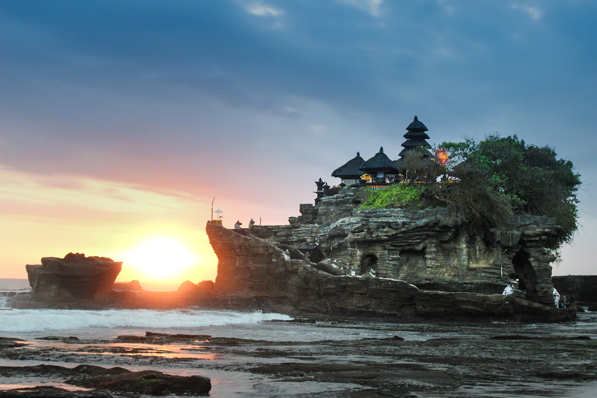
Interactive Adventure Packing List Generator
Generate a customized headlamp, layering, and footwear gear checklist tailored to high-altitude volcanic morning temperatures.
Every morning between 3:30 AM and 4:00 AM, hundreds of travelers set off in pitch-black darkness to climb an active volcano in northeastern Bali. By 6:00 AM, they stand above a sea of low-hanging clouds on the caldera rim of Mount Batur (Gunung Batur), watching the sunrise illuminate Mount Agung and the neighboring island of Lombok across the ocean.
Climbing Mount Batur is one of Bali’s most popular outdoor adventures. However, many first-time hikers underestimate the physical steepness of the loose volcanic scree, the sudden drop in morning temperature (which can fall to 12°C / 54°F at the summit), and local guide association checkpoint rules.
This comprehensive Mount Batur sunrise trek guide outlines what the hike is really like, exact hotel pickup times, elevation profiles, 2026 costs, and whether adding the post-hike natural thermal hot springs is worthwhile.
🧭 FIELD AUDIT & VERIFICATION
- Last Verified: 20 August 2026
- Verified By: Avantika S Jaiswal (Lead Travel Strategist)
- Checked: Kintamani Caldera Guide Association Rules ✓ • 2026 Association Pricing (IDR 350k–550k) ✓ • Trail Safety ✓
Mount Batur Trek at a Glance
| Parameter | Verified Hike Data |
|---|---|
| Location | Kintamani District, Bangli Regency, Northeastern Bali |
| Summit Elevation | 1,717 meters (5,633 feet) above sea level |
| Trailhead Elevation | Approx. 1,020 meters (3,346 feet) |
| Total Elevation Gain | Approx. 700 meters (~2,300 feet) |
| Trek Distance | Approx. 9.5 to 11 km (6–7 miles) round-trip |
| Ascent Duration | 1.5 to 2.5 hours (depending on pace and rest stops) |
| Descent Duration | 1.5 to 2 hours (steep gravel requires careful footing) |
| Physical Difficulty | Moderate (steep loose volcanic rock near the summit) |
| Summit Temperature | 12°C to 16°C (54°F–61°F) with morning wind chill |
| Guide Requirement | Practically Mandatory via local guide association checkpoints |
| Best Seasonal Window | May to October (Dry season for optimal clear-sky sunrises) |
2:00 AM Pickup: When Does Your Day Start?
Because Mount Batur is located in the northern volcanic highlands of Kintamani, travelers staying in South Bali must depart in the middle of the night.
HOTEL PICKUP SCHEDULE FOR MOUNT BATUR
| Nusa Dua / Uluwatu / Jimbaran | 1:15 AM – 1:30 AM (2h 15m drive) |
|---|---|
| Kuta / Seminyak / Canggu | 1:30 AM – 1:45 AM (2h drive) |
| Sanur | 2:00 AM – 2:15 AM (1h 30m drive) |
| Ubud | 2:15 AM – 2:30 AM (1h drive) |
| Kintamani Base Area | 3:15 AM – 3:30 AM (15m drive) |
Pro-Tip: Staying in Ubud or directly in a Kintamani guesthouse the night before saves you over an hour of sleep compared to staying in Canggu or Seminyak.
Mount Batur Hike Route & Timeline
MOUNT BATUR GUIDE REQUIREMENT MATRIX
| National Law / Government | Indonesian forestry law does not |
|---|---|
| Standpoint | explicitly mandate private mountain |
| - | guides for short day hikes. |
| Local Association Checkpoint | The Mount Batur Trekking Guides |
| (Himpunan Pramuwisata Batur) | Association maintains checkpoints along |
| - | all trailheads (Toya Bungkah/Pura Jati). |
| - | Independent hikers are routinely stopped |
| - | and required to hire a local guide. |
| Editorial Recommendation | Always hire a licensed local guide. |
| - | At IDR 350,000–500,000 (~$22–$32 USD), |
| - | it prevents heated trailhead disputes, |
| - | supports the local Kintamani economy, |
| - | and includes headlamps, tea & breakfast. |
How Much Does the Mount Batur Sunrise Trek Cost? (2026 Pricing)
| Package Category | Inclusions | Typical Cost (per person) | Approximate USD ($) |
|---|---|---|---|
| Standard Trek + Shared Transport | Guide, hotel pickup, flashlights, summit breakfast | IDR 350,000 – 500,000 | $22 – $32 USD |
| Trek + Private Transport + Hot Springs | Private van, guide, breakfast, Toya Devasya hot spring entry | IDR 650,000 – 900,000 | $42 – $58 USD |
| Self-Drive / Trailhead Guide Only | Meet local guide at base (no transport) | IDR 250,000 – 350,000 | $16 – $22 USD |
| Batur Natural Hot Springs Entry Only | Towel, locker, lakeside mineral thermal pools | IDR 150,000 – 200,000 | $10 – $13 USD |
What to Pack: Essential Gear Checklist
- Footwear: Broken-in running shoes or trail hiking shoes with good grip. (Avoid flip-flops or smooth-soled fashion sneakers).
- Warm Outer Layer: Windbreaker, light down jacket, or fleece.
- Headlamp or Flashlight: Local guides supply hand-held torches, but a hands-free headlamp makes climbing rocky sections easier.
- Backpack: Small 10L–20L daypack to carry your water and extra layers.
- Water: 1 to 1.5 liters per person.
- Cash (IDR 100,000–200,000): For hot coffee at summit huts or tipping your local guide.
- Swimwear & Towel: If visiting the natural hot springs post-trek.
Is the Hot Spring Visit Worth Adding?
After descending 700 vertical meters on loose rock, your quadriceps and calves will be fatigued.
Visiting Batur Natural Hot Spring or Toya Devasya (located along the shores of Lake Batur, 10 minutes from the trailhead) allows you to soak in natural geothermal mineral water heated to 38°C–40°C (100°F–104°F).
- Verdict: Highly recommended. Spending 60 to 90 minutes soaking while gazing at the volcano you just climbed is one of the most rewarding post-hike recovery experiences in Southeast Asia.
Mount Batur vs Other Bali Volcano Treks
| Feature | Mount Batur (Gunung Batur) | Mount Agung (Gunung Agung) | Mount Abang (Gunung Abang) |
|---|---|---|---|
| Summit Elevation | 1,717 meters | 3,142 meters (Highest in Bali) | 2,151 meters |
| Trek Duration | 3.5 to 4.5 hours total | 8 to 12 hours total | 5 to 6 hours total |
| Difficulty Level | Moderate (Accessible to beginners) | Extremely Strenuous | Moderate to Hard |
| Sunrise View | Over Lake Batur & Mt. Agung | Panoramic view over all Bali | Direct view of Batur caldera |
| Crowd Level | High (Popular) | Low (Challenging expedition) | Low to Medium |
Frequently Asked Questions
Is Mount Batur suitable for beginners and non-hikers?
Yes. Anyone with average cardiovascular fitness who can walk uphill for two hours can complete Mount Batur. The pace is steady, and guides take frequent breaks at resting points.
What time does the Mount Batur sunrise hike start?
Hikers start walking from the base trailhead between 3:45 AM and 4:15 AM to reach the summit rim before first light at 5:45 AM.
Are there wild monkeys at the top of Mount Batur?
Yes. A resident troop of wild Balinese macaques gathers at the crater rim around sunrise to scavenge food from breakfast picnic huts. Keep small loose items (sunglasses, phones) secured in your zipped backpack.
What happens if it rains on the day of the trek?
Tours proceed in light tropical drizzle. If severe thunderstorms occur, guides may adjust the route or postpone the trek for safety. During the dry season (May to October), rain cancellations are rare.
DATA FOR WEBSITE VISUALIZATIONS
Chart 1 — Elevation Profile Data
- Source: Indonesian Center for Volcanology and Geological Hazard Mitigation (PVMBG)
- Date Checked: August 2026
| Distance (km) | Elevation (m) | Landmark Name |
|---|---|---|
| 0.0 | 1,020 | Pura Jati Trailhead Base |
| 1.2 | 1,180 | Pine Forest Trail Exit |
| 2.4 | 1,320 | Pos 1 Mid-Point Resting Plateau |
| 3.6 | 1,540 | Upper Volcanic Scree Ridge |
| 4.8 | 1,717 | Main Crater Summit Rim |
Chart 2 — Trek Cost Breakdown Data (IDR)
- Source: Bangli Regency Tourism Pricing Standard & Association Rates
- Date Checked: August 2026
| Category | Typical Amount (IDR) | Equivalent (USD) |
|---|---|---|
| Local Association Guide Fee | 350,000 | $22.50 |
| Private Hotel Return Transport | 300,000 | $19.30 |
| Summit Breakfast & National Park Ticket | 100,000 | $6.40 |
| Natural Thermal Hot Spring Entry | 150,000 | $9.60 |
| Total Full-Day Package | 900,000 | $57.80 |
References & Official Sources
- Ministry of Tourism and Creative Economy (Indonesia): Official Mount Batur Geopark Advisory (indonesia.travel)
- Center for Volcanology and Geological Hazard Mitigation (PVMBG Indonesia): Mount Batur Geological Activity & Elevation Records (vsi.esdm.go.id)
- Bangli Regency Tourism Office: Kintamani Tourism Standards & Safety Protocols (banglikab.go.id)
Bali Volcano & Waterfall Adventure Package
Experience stress-free travel with handpicked luxury stays, private transfers & 24/7 dedicated support.
More in Adventure, Treks & Camping
 🏕️ Adventure, Treks & Camping
 Wilderness Camping Checklist: Essential Gear & Leave No Trace Guide
Get a practical backcountry camping checklist covering essential gear, sleeping pad R-values, water filtration methods, safe campsite setups, and 7 Leave No Trace rules.
 🏕️ Adventure, Treks & Camping
 Har Ki Dun Trek Guide 2026: Route, Itinerary, Campsites & Cost
Plan the Har Ki Dun trek in 2026 with a day-by-day route, campsite guide, elevation profile, permits, packing list and realistic trek costs.